To navigate a topographic map off-grid, learn to interpret contour lines, symbols, and colors to identify terrain features like hills, valleys, and slopes. Use a compass to align your route and confirm your position with landmarks such as streams or ridges. Understanding how elevation changes and landform shapes appear helps you plan safe paths and avoid hazards. Keep exploring these skills, and you’ll become confident in reading maps in any wilderness situation.
Key Takeaways
- Understand contour lines and their spacing to interpret terrain steepness and landform shapes accurately.
- Use map symbols and colors to identify features like water sources, trails, and landmarks for navigation.
- Orient the map with a compass, aligning north and adjusting for magnetic declination to maintain correct direction.
- Recognize terrain hazards such as cliffs or dense forests by analyzing contour patterns and landform shapes.
- Cross-reference natural landmarks and terrain features with your map to verify your position off-grid.
Understanding the Purpose and Components of a Topographic Map
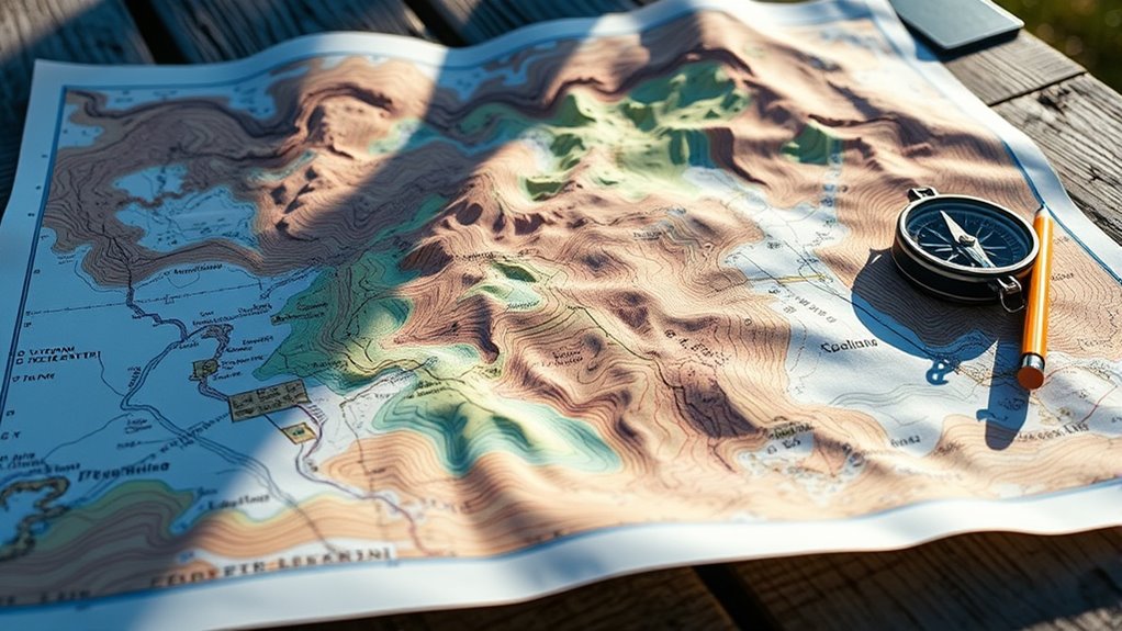
A topographic map serves as a detailed representation of the Earth’s surface, showing both natural and man-made features. Its purpose is to provide detailed information about terrain, elevation, and landforms for navigation and planning. Key components include the map scale, which indicates how much the map reduces real-world distances, and the map projection, which translates the curved surface of the Earth onto a flat sheet. The map scale helps you estimate distances accurately, while the projection ensures the features are proportionally correct. Together, these elements make a topographic map a powerful tool for understanding terrain. By grasping these components, you’ll better interpret the map’s features and use it effectively during your off-grid adventures. Understanding the terrain also aids in practicing Leave No Trace principles to minimize environmental impact. Additionally, recognizing how elevation contours are represented can improve your ability to navigate challenging landscapes. Knowing how to interpret contour intervals can help you gauge the steepness of slopes and plan your routes accordingly. Familiarity with contour lines, including their spacing and patterns, can also assist in identifying natural features such as ridges and valleys. Moreover, understanding how map legends communicate essential information can enhance your overall map reading skills.
Recognizing Contour Lines and Their Significance
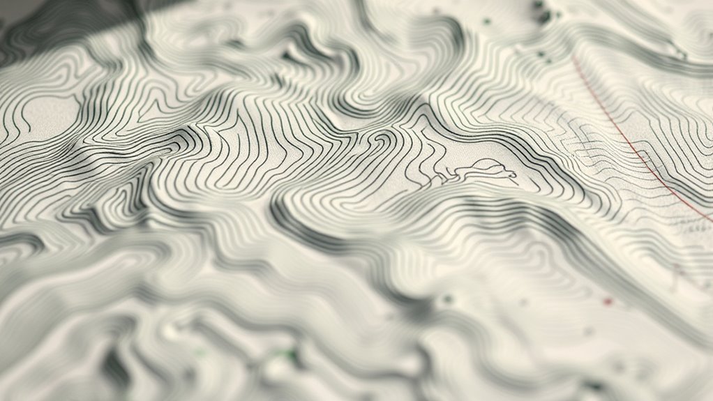
Contour lines are the primary way topographic maps illustrate elevation changes across the terrain. They connect points of equal elevation, revealing the landscape’s shape. Recognizing these lines helps you interpret slope steepness and landform features. The contour interval indicates the vertical distance between adjacent lines, showing the elevation change over a specific distance. Close lines mean steep terrain, while wider spaces suggest gentle slopes. Use this table to understand contour lines better:
| Feature | Description | Significance |
|---|---|---|
| Contour Line | Connects points of equal elevation | Identifies terrain shape |
| Contour Interval | Elevation difference between lines | Shows elevation change |
| Relief | Total elevation difference | Indicates terrain variability |
| Slope Steepness | How close lines are | Steeper slopes have closer lines |
| Hilltop or Depression | Closed loops with or without hachures | Shows summit or depression |
Mastering contour lines helps you navigate off-grid accurately. Understanding topography is essential for interpreting map features effectively. Additionally, recognizing landform features such as ridges and valleys enhances your ability to interpret the terrain more precisely. Being familiar with the concept of contour lines allows for better assessment of terrain difficulty and planning routes accordingly. Developing a good understanding of elevation changes improves your navigation skills significantly.
Interpreting Elevation and Terrain Features

To understand a topographic map better, you need to interpret the elevation and terrain features it shows. By reading contour lines carefully, you can identify how high or low different areas are. Recognizing terrain shapes helps you visualize the landscape’s form and plan your route effectively. Understanding topographic map symbols further enhances your ability to interpret the details accurately.
Subheading 1: Reading Contour Lines
Have you ever wondered how to determine the elevation of a land feature just by looking at a map? It’s all about reading contour lines. These lines connect points of equal elevation and reveal terrain features like hills, valleys, and slopes. When you see closely spaced lines, the terrain is steep; wider spaces indicate gentle slopes. Recognizing map symbols helps you interpret terrain more accurately. Use the table below to understand common features:
| Contour Line Pattern | Terrain Feature | Map Symbols |
|---|---|---|
| Close lines | Steep slope | Triangles |
| Wide lines | Gentle slope | Circles |
| V-shapes | Valleys | Arrows pointing uphill |
| Concentric circles | Hills or peaks | Peaks symbol |
Mastering contour lines enhances terrain interpretation and helps you navigate off-grid effectively. Additionally, understanding how to read topographic maps is essential for safe and efficient outdoor navigation.
Subheading 2: Recognizing Terrain Shapes
Once you’ve learned to read contour lines, you can start recognizing the actual shapes of the land features they represent. Terrain interpretation involves understanding how contour lines form specific shapes that reveal hills, valleys, ridges, and depressions. Shape recognition helps you visualize the land’s three-dimensional form from a two-dimensional map. For example, concentric circles indicate a hill or mountain, while V-shaped lines point to valleys or streams. Closely spaced lines show steep slopes, while wider spaced lines suggest gentle terrain. By mastering these patterns, you can accurately interpret terrain features and navigate effectively off-grid. Recognizing these shapes is essential for evaluating terrain difficulty, planning routes, and ensuring safe travel in remote areas.
Reading Symbols, Colors, and Map Legends
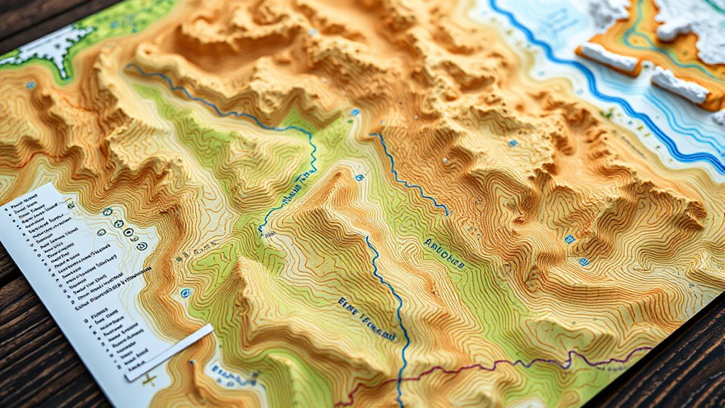
Understanding the symbols, colors, and map legends is essential for interpreting topographic maps accurately. Map symbols convey crucial information about features like roads, water bodies, vegetation, and man-made structures. Learning these symbols helps you quickly identify landmarks and terrain features. Color interpretation is equally important; different shades indicate elevation, land cover, and water depths. For example, green often shows forests, while brown marks higher elevations. The map legend explains all symbols and color codes, acting as your key to decoding the map’s information. Familiarity with these elements allows you to navigate more confidently and avoid confusion. Recognizing how color variations represent elevation enhances your understanding of the terrain’s topography and aids in accurate navigation. Additionally, understanding cultural and natural features depicted on the map provides context that can be crucial for safe and efficient navigation. Knowing how to interpret water depths and water bodies can help you identify safe crossing points and water sources during your journey, especially when considering potential alters in water levels due to weather or seasonal changes. Developing a good grasp of these symbols and legends can also help you recognize terrain hazards that might impact your route planning and safety.
Using a Compass and Map Together for Orientation
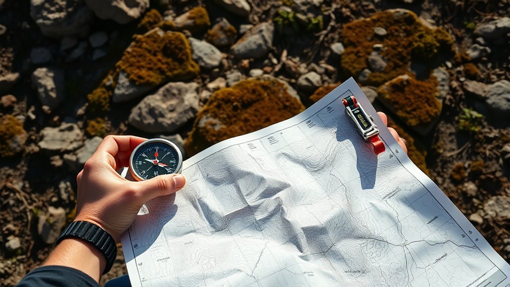
To navigate effectively, you need to align your compass with the map properly. Once aligned, you can identify landmarks more accurately and use them as reference points. This combination helps you stay oriented and reach your destination confidently. Incorporating necessary cookies techniques can also improve your vehicle’s handling, making off-grid navigation smoother and more reliable.
Aligning Compass and Map
Aligning your compass with the map is essential for accurate navigation. First, verify your compass is properly calibrated; this means checking that the magnetic needle freely moves and aligns with the north mark. Remember, magnetic declination—the angle between true north and magnetic north—varies by location. Adjust your compass for declination if needed, either manually or by setting the declination adjustment. When aligning, place the compass on the map so that the orienting arrow matches the map’s north, accounting for declination. Rotate the compass housing until the magnetic needle aligns with the orienting arrow. This step ensures your compass reading corresponds accurately with the map, allowing you to orient the map properly and determine your direction of travel with confidence. Additionally, understanding the magnetic properties of your environment can help improve your navigation accuracy.
Identifying Landmarks Effectively
Once your compass is properly aligned with the map, you can use landmarks to confirm your position and stay oriented. Look for distinctive geological features like cliffs, ridges, or streams that match those on your map. These natural landmarks are often visible from a distance and help verify your location. Additionally, cultural landmarks such as abandoned buildings, cairns, or trail markers serve as recognizable reference points. Identify these features in the landscape and compare them with your map’s symbols and terrain contours. Using both geological and cultural landmarks together enhances your confidence in your position and prevents misdirection. Effective landmark identification keeps you oriented, especially in unfamiliar terrain, ensuring safe navigation off-grid. Incorporating cellular signal awareness can also aid in confirming your location when available. Recognizing terrain features enhances your ability to navigate accurately without relying solely on technology.
Identifying Water Sources, Trails, and Landmarks

Have you ever wondered how to spot water sources, trails, and landmarks quickly on a topographic map? To do this effectively, focus on key features like wildlife habitats, trail patterns, and land formations. Here are three tips:
Quickly identify water sources, trails, and landmarks by recognizing key features on topographic maps.
- Look for blue lines or shaded areas indicating streams, rivers, or lakes—these are your water sources.
- Identify linear features, such as dashed or solid lines, which often represent trails or paths.
- Notice landforms and vegetation types, like dense forests with specific tree types, which help pinpoint landmarks and wildlife habitats.
Planning Your Route and Navigating Terrain

When planning your route on a topographic map, it’s vital to take into account the terrain’s features and your destination. Use map symbols to identify key landmarks, obstacles, and pathways, which help you assess the terrain’s difficulty. Conduct terrain analysis by examining contour lines to determine slopes, ridges, and valleys, guiding you to choose the safest and most efficient route. Consider natural features like rivers, cliffs, or dense forests, and how they might impact your travel. Planning ahead minimizes surprises and guarantees you stay on course. Remember, understanding map symbols and analyzing terrain details allow you to navigate confidently and adapt your route as needed, especially when off-grid. Proper planning is essential to a safe, successful adventure.
Tips for Practicing and Improving Your Map Reading Skills

Practicing regularly is the best way to boost your map reading skills and build confidence in traversing unfamiliar terrain. To improve, focus on understanding map symbols and terrain interpretation. Start with these steps:
- Study map symbols daily to familiarize yourself with features like contour lines, water bodies, and landmarks.
- Practice terrain interpretation by comparing map features with real-world observations, enhancing your ability to visualize the landscape.
- Test yourself by plotting routes in different environments, noting how terrain and symbols influence navigation decisions.
Consistent practice helps you quickly recognize symbols and interpret terrain changes, making navigation more intuitive. Over time, your skills will become more precise, and you’ll navigate off-grid with greater confidence and safety.
Frequently Asked Questions
How Do I Determine the Scale of a Topographic Map?
To determine the scale of a topographic map, look at the map’s legend for the scale ratio, like 1:24,000. This ratio shows how map measurements convert to real-world distances. Use measurement tools such as a ruler or a map scale bar to measure distances on the map, then multiply by the scale ratio to find actual distances. Knowing the map scale helps you accurately interpret terrain features off-grid.
What Are Common Mistakes to Avoid When Reading a Map?
When reading a map, avoid common mistakes like misinterpreting the map legend or confusing contour lines. Always double-check what symbols and colors represent, and carefully interpret contour lines to understand elevation changes. Don’t overlook the scale or assume features without verifying. By paying close attention to the map legend and practicing contour interpretation, you guarantee accurate navigation and avoid errors that could lead you off course.
How Can I Estimate Travel Time Using a Topographic Map?
Did you know that hiking uphill can double your travel time? To estimate your travel time using a topographic map, consider elevation gain and terrain difficulty. You can use Naismith’s Rule, which adds approximately one hour for every 3,000 feet of elevation gain and adjusts for rough terrain. By evaluating these factors on your map, you get a realistic idea of how long your journey will take.
What Tools Can Enhance Map Reading Accuracy in the Field?
You can boost your map-reading accuracy in the field by using a digital compass to maintain proper orientation and a GPS device for precise location data. An altimeter barometer helps you track elevation changes and anticipate terrain difficulty. These tools work together to give you real-time information, ensuring you interpret the topographic features correctly and navigate safely in remote areas. Always carry them and learn how to use them effectively.
How Do Seasonal Changes Affect Terrain Features on Maps?
Seasonal variations markedly impact terrain features on maps through weather changes, snow cover, and vegetation growth. These seasonal fluctuations can obscure landmarks, alter water levels, and make trails harder to follow. When you’re off-grid, understanding these terrain fluctuations helps you interpret map details accurately. Keep in mind that snow might hide features in winter, while lush vegetation in summer can conceal trails, so adjust your navigation approach accordingly for each season.
Conclusion
Mastering topographic maps guides you through rugged terrain, turning uncertainty into confidence. While the map reveals the land’s secrets, your skills bring clarity and safety. Just as contour lines define elevation, your understanding defines your journey. Remember, navigation isn’t just about reading symbols — it’s about trusting your knowledge amid nature’s unpredictable beauty. With practice, you’ll find that the map’s complexity becomes a tool, and the wilderness, a path to discovery.
