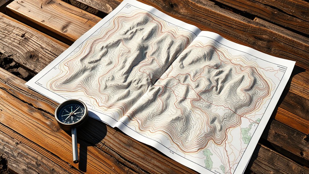
To navigate off-grid drives, start by understanding symbols, colors, and contours on the map to identify natural features and landmarks. Focus on contour lines to gauge elevation and terrain steepness—closely spaced lines mean steep slopes, wider gaps suggest gentler slopes. Use the scale to estimate distances and plan your route, considering water sources and natural barriers. If you keep exploring, you’ll gain more skills to confidently interpret terrain and plan safer, efficient drives.
Key Takeaways
- Understand contour lines: closely spaced lines indicate steep slopes, wider gaps show gentle terrain, aiding route safety assessment.
- Identify natural features: recognize water sources, forests, ridges, and valleys through symbols and shape patterns for navigation.
- Use scale accurately: measure distances on the map and convert to real-world measurements to plan efficient, safe routes.
- Recognize man-made features: locate roads, buildings, and fences to assist in orientation and route planning.
- Continuously compare terrain shapes and features with surroundings to stay on course and avoid surprises during off-grid drives.
Understanding the Legend and Symbols

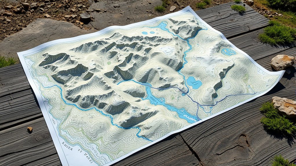
Have you ever wondered what all those lines and icons on a topographic map mean? The legend is your key to understanding this complex language. It explains what each symbol, line style, and color signifies, turning confusing markings into meaningful information. For example, different symbols show roads, trails, water features, and buildings, while colors indicate terrain types or elevation ranges. Familiarizing yourself with the legend helps you quickly identify important features and plan your route effectively. Pay attention to the symbols for natural features like forests or rivers, and man-made landmarks such as bridges or campsites. By mastering the legend, you ensure you’re interpreting the map accurately, making your off-grid adventures safer and more enjoyable. Recognizing topographic map symbols is essential for proper navigation and understanding the terrain better. Additionally, understanding contour lines reveals elevation changes and slope steepness, which are crucial for safe and efficient off-grid driving. Knowing how to interpret map scales further enhances your ability to estimate distances accurately across rugged terrain. Familiarity with elevation data also helps in assessing the difficulty of the terrain and planning safer routes.
Interpreting Contour Lines and Elevation Changes

Once you’ve familiarized yourself with the legend and symbols, the next step is to interpret the contour lines that depict elevation changes. These lines connect points of equal elevation, revealing the terrain’s shape. Closely spaced lines indicate steep slopes, while wider gaps suggest gentle inclines. To understand elevation changes:
- Look for the contour interval, which tells you the elevation difference between lines.
- Observe the shape of the lines; V-shapes point uphill, while U-shapes indicate valleys.
- Note the pattern and spacing to gauge terrain steepness and the relative height of features.
- Incorporate continuous learning models that adapt to changing terrain data for more accurate mapping.
- Recognize how topographic features influence navigation and route planning in off-grid environments.
- Understanding mapping accuracy is essential when interpreting contour lines to ensure safe and effective off-grid drives.
- Additionally, considering terrain variability helps in planning routes that optimize safety and driveability.
Identifying Natural and Man-Made Features
How can you distinguish natural landscapes from human-made structures on a topographic map? Natural features like forests, rivers, and mountains typically appear with irregular shapes and patterns. Forests are shown with clustered tree symbols or green shading, while rivers are blue lines that meander across the map. Mountains and ridges are represented by contour lines forming concentric circles or U-shapes, indicating elevation changes. Man-made features, on the other hand, include roads, buildings, and fences, often depicted with straight lines, rectangles, or symbols. Roads are usually solid or dashed lines, and structures are marked with small squares or icons. Recognizing these differences helps you navigate terrain accurately, identifying natural boundaries versus constructed pathways or landmarks. Understanding topography is essential for correctly interpreting elevation and landscape features on the map, especially since contour lines illustrate elevation changes and terrain steepness. Additionally, being able to identify natural and man-made features enhances your overall comprehension of the terrain, making your off-grid drives safer and more enjoyable. Developing your ability to read topographic symbols effectively allows for quicker and more accurate terrain assessment.
Recognizing Water Sources and Terrain Types
To identify water sources on a topographic map, look for blue symbols, lines, or shaded areas that indicate lakes, rivers, or streams. Pay attention to terrain textures and elevation contours, which reveal whether the land is flat, hilly, or mountainous, affecting water flow and collection. Recognizing these features helps you understand the landscape’s water availability and terrain type quickly and accurately. Additionally, understanding topographic map symbols can greatly improve your ability to interpret water features and terrain types effectively.
Water Presence Indicators
Ever wonder how to identify water sources on a topographic map? Water presence indicators are key to navigation and planning. Look for blue symbols and lines that mark rivers, streams, and lakes. These features often follow valleys and low-lying terrain, shown by closely spaced contour lines. You can also identify wetlands or marshy areas with shaded or dotted patterns. Recognizing water sources is essential for assessing terrain accessibility and safety during off‑grid drives. Incorporating topographic map symbols into your reading can help you better interpret the subtle symbols and patterns used in topographic maps.
Terrain Texture and Elevation
Recognizing terrain texture and elevation helps you identify water sources and different landforms more accurately. On a topographic map, smooth, flat areas with gentle contour lines often indicate plains or valleys, where water is more likely to collect or flow. Rugged terrain with closely spaced contour lines signals steep slopes or cliffs, less suited for water pooling. Look for shaded or textured patterns; for example, cross-hatched symbols can represent forests or dense vegetation, while open, lighter areas suggest grasslands or deserts. Water sources like lakes or rivers are typically marked with blue symbols or lines, often located in lower elevations. Understanding these textures and elevations allows you to predict terrain features, helping you plan safer, more efficient off-grid routes. Additionally, recognizing elevation changes can aid in estimating water flow directions and identifying potential water collection points. Being aware of terrain texture can also improve your ability to interpret terrain difficulty and plan appropriate routes. Recognizing how water flow interacts with terrain can help you anticipate areas prone to flooding or erosion. Moreover, understanding the relationship between water and terrain can be crucial for identifying natural water collection points and planning sustainable water sources.
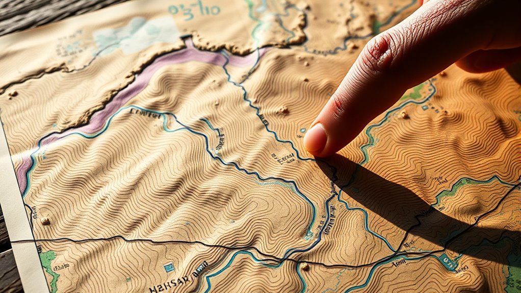
Using Scale and Distance for Navigation
Understanding the map’s scale helps you estimate real-world distances quickly. By calculating these distances, you can plan your route more efficiently and avoid surprises. Mastering these skills guarantees you navigate safely and reach your destination with confidence. Additionally, recognizing features related to vehicle modifications can help you better interpret terrain and potential obstacles during off-grid drives.
Interpreting Map Scale
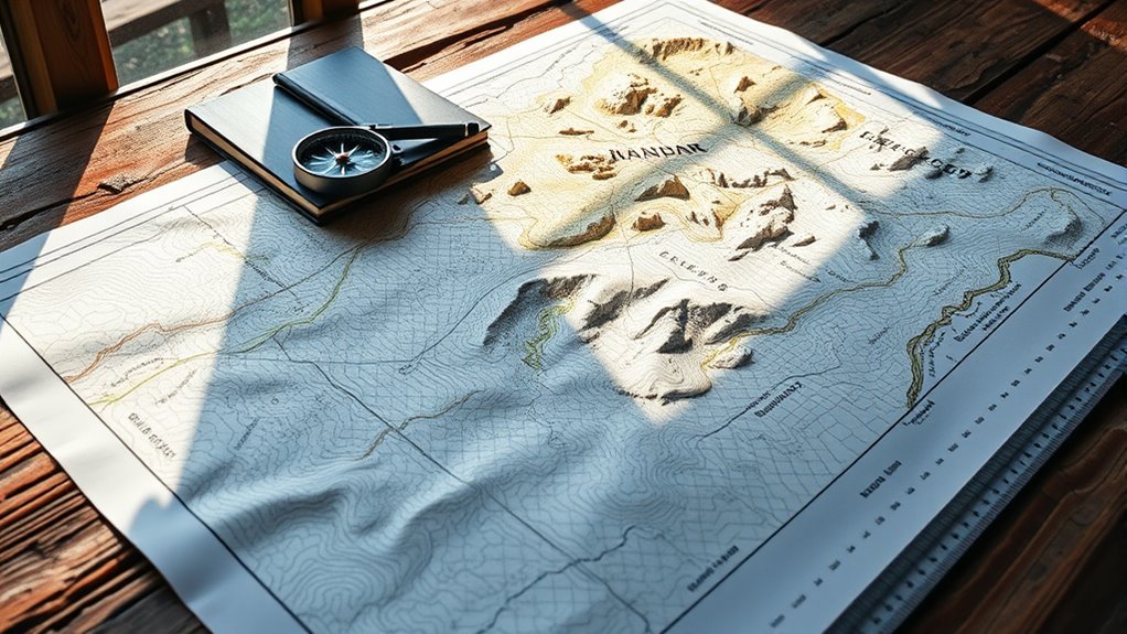
To effectively use a topographic map for navigation, you need to interpret its scale, which shows the relationship between map distances and real-world measurements. Understanding this scale helps you estimate travel distances accurately. Most maps feature a scale bar or ratio, such as 1:24,000, meaning one unit on the map equals 24,000 units in the real world. Recognizing the accuracy of the map is essential for reliable navigation, especially in off-grid environments. Use the scale to measure the distance between points with a ruler or scale bar. Convert map measurements into real distances, considering the scale ratio. Recognize that larger scale maps (more detailed) have smaller ratios, while smaller scale maps cover larger areas with less detail. Mastering this interpretation allows you to plan routes effectively and avoid surprises during your off-grid adventures, as precise measurement is crucial for safe and efficient travel. Additionally, understanding the map projection helps mitigate potential distortions that could affect your navigation accuracy. Being aware of the map’s limitations ensures you can adjust your navigation strategies accordingly.
Calculating Real Distances
Once you’ve grasped how to interpret the map scale, you can calculate real distances between points. To do this, measure the straight-line distance between two locations on the map using a ruler. Next, compare this measurement to the scale provided. For example, if 1 inch on the map equals 1 mile in real life, and your measured distance is 3 inches, the actual distance is 3 miles. Keep in mind that topographic maps often include contour lines, which can indicate elevation changes, but for distance calculations, focus on the horizontal measurement. Using a consistent unit of measurement, like inches or centimeters, guarantees accuracy. Recognizing map reading skills and tools can improve clarity in your writing. This method helps you estimate travel distances, plan your route, and prepare for the drive ahead.
Planning Your Route
Ever wonder how to choose the best route for your trip? Using your map’s scale and distance markers helps you plan efficiently. Start by identifying key landmarks and plotting potential paths. Then, estimate the distances between points by:
- Converting map measurements to real-world distances using the scale
- Comparing different routes to find the shortest or safest option
- Considering terrain features that might slow you down or block your path
Keep in mind that topographic lines indicate elevation changes, which can affect travel time. Use the scale to measure distances accurately, and factor in terrain difficulty. Being aware of terrain features such as elevation and obstacles can help you select a route that minimizes challenges and enhances safety. This approach guarantees you select a route that balances distance, safety, and terrain, helping you reach your destination smoothly and confidently. Transparency in affiliate relationships can also help you make informed decisions about route planning tools and resources.
Planning Your Route With Topographic Details
When planning your route on a topographic map, paying close attention to contour lines and elevation changes is essential. Contour lines reveal the terrain’s shape, indicating hills, valleys, and slopes. Closely spaced lines show steep areas, while wider spacing indicates gentler slopes. Use this information to avoid difficult climbs or descents that could challenge your vehicle or require extra effort. Identify natural barriers like ridges or cliffs that might force detours. Elevation data helps you choose routes that are manageable and safe, especially if you want to conserve fuel or reduce wear. By understanding these topographic features, you can select a path that balances efficiency with safety, ensuring your off-grid drive stays smooth and enjoyable.
Tips for Reading Maps in the Field
To read a map effectively in the field, you need to develop a keen eye for identifying key features quickly. Spot landmarks like rivers, road intersections, or distinct terrain shapes. Use your finger or a pencil to trace your route and confirm your position along it. Pay attention to contour lines—closely spaced lines indicate steep terrain, while wider spacing shows gentler slopes. Familiarize yourself with the map legend to decode symbols rapidly.
Develop quick identification of landmarks and contour lines to navigate effectively in the field.
- Identify prominent landmarks to confirm location
- Check contour lines to understand terrain difficulty
- Cross-reference your surroundings with map features
Staying alert and continuously comparing what you see with the map ensures you stay on course and avoid surprises. Practice makes these skills instinctive, especially in unfamiliar environments.
Frequently Asked Questions
How Do I Determine the Best Route for Off-Grid Driving?
To find the best off-grid route, you need to analyze the topographic map carefully. Look for contour lines indicating elevation changes; flatter areas are easier to drive. Avoid steep slopes and rugged terrain. Check for natural obstacles like rivers or dense forests. Choose a route that balances safety and efficiency, sticking to paths or open land where your vehicle can handle the terrain comfortably.
What Safety Precautions Should I Take When Navigating With a Topographic Map?
Imagine you’re a mountain climber poised at the edge of a steep cliff, ready to descend. When orienting with a topographic map, you should always carry a compass and GPS as your trusty guides. Check the weather forecast, tell someone your route, and avoid risky terrain. Trust your map’s contours, but stay alert for changes. Safety is your safety net, keeping your off-grid adventure secure and enjoyable.
How Can I Identify Potential Hazards on a Topographic Map?
When you look at a topographic map, you can spot potential hazards by paying attention to steep slopes, indicated by closely spaced contour lines, which can be risky to traverse. Watch for water bodies like rivers or marshlands that might be tricky to cross or cause flooding. Also, note any rugged terrain or cliffs, marked by sharp elevation changes, to avoid dangerous areas during your off-grid drive.
What Tools or Accessories Are Recommended for Map Reading in the Field?
Maps are your silent guides, yet without proper tools, they’re hard to interpret. You should carry a compass to verify directions and a high-quality magnifying glass for detailed features. A ruler or straightedge helps measure distances accurately, and a waterproof case protects your map from the elements. With these accessories, you turn raw paper into a confident navigation tool, ensuring you stay on course during your off-grid adventures.
How Do Weather Conditions Affect Map Reading and Navigation Accuracy?
Weather conditions can considerably impact your map reading and navigation accuracy. Rain, snow, or fog can obscure landmarks and distort your view of the terrain, making it harder to match map features with the actual landscape. Wind and glare may also hinder your ability to see map details clearly. To stay on track, you need to adapt by using your compass and GPS, and taking extra time to verify your position in poor weather.
Conclusion
Mastering topographic maps is key for off-grid adventures. Did you know that 80% of navigation errors come from misreading terrain? By understanding symbols, contour lines, and natural features, you’ll confidently navigate even the most remote areas. Practice makes perfect, so keep honing your skills in the field. With these tips, you’ll be able to plan safer, more efficient routes and enjoy your off-grid drives with greater confidence and independence.